Photo: Marjorie delos Angeles
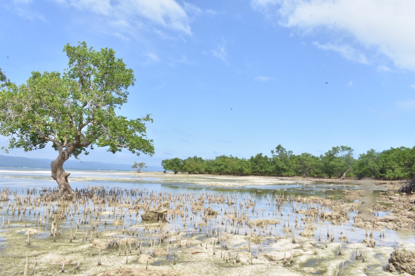
Mangroves are found in various parts of the country. They thrive not only in coastal shores but mainly in estuaries. These plant communities are known for their protective value against storm surge and flooding incidence, provisioning value through fisheries and timber, and other socio-cultural importance. These dominating trees, and other associated life forms including human settlements constitute one ecological unit or ecosystem and the subject of investigation of many environmental studies in the country since 1980s. Over the years, mangrove ecosystem suffered tremendous decline due to its conversion to brackish water fishponds, timber harvesting for building materials, charcoal, & firewood, coastal development and human settlement. Another notable reason for the decline is linked to the absence of mangrove awareness by the local communities. Using field collection, remote sensing and community perspective, this study aims to assess the mangrove forest of Cagbalete Island, a 1,795.4451 ha. island in Mauban Quezon. Research activities would investigate the mangrove composition and diversity, mangrove cover change and gender-based perception of island communities. Results would be key in the formulation of policies, design of activities, and implementation of conservation and tourism programs in Cagbalete island, which is also a popular tourist site in the country. Lastly, scientific documentation of mangrove ecosystem in the island is still lacking. Thus, this pioneering study will contribute basic knowledge on the distribution pattern, spatial and temporal area dynamics and the role of gender awareness in its management.
Prof. Mark Anthoy F. Rabena (Study Leader)
Prof. Ivy Amor F. Lambio (Co-study Leader)
–